WE'LL BE WORKING ON

From the bottom: the north tip of South Caicos, then Plandon Cay,
then Middle Creek Cay, then McCartney Cay.
Plandon is known to have a site, which we will excavate. We will
survey Middle Creek and McCartney.

A second view of Plandon and Middle Creek cays.

Sail Rock Island in the center, which we will survey. East Caicos
is on the right.

Salina, North Caicos. The southern 2/3 of North, Middle, and East
Caicos islands
are salina, or tidal flats in which little vegetatation grows.
These areas are periodically innundated by high tides.

Aerial view of the Comfort Suites hotel, where we'll stay on Provo.
In the right center of the picture,
under the wing, with the red roof.
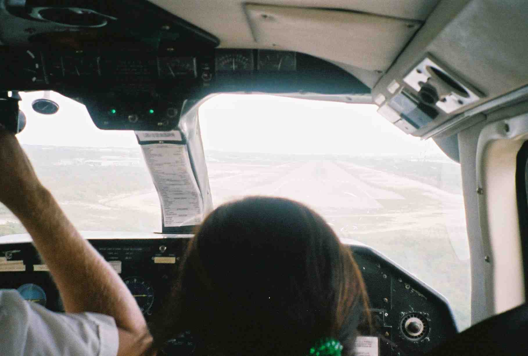
Another smooth landing at the Providenciales airport. When the
plane is full, a passanger must sit
at the controls next to the pilot. They trust you not to touch
anything.